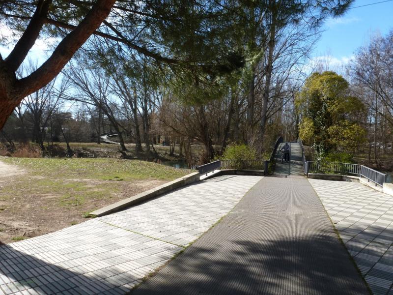
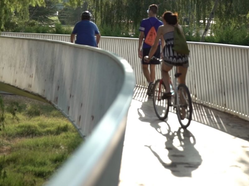
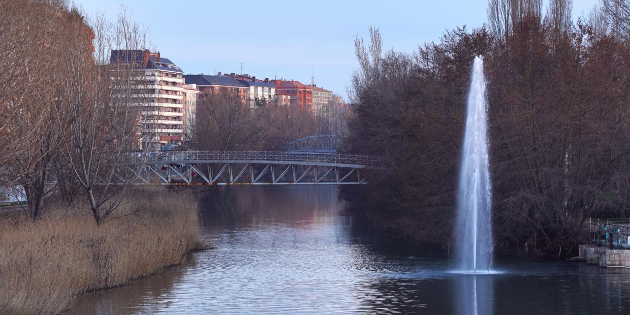
Dos Aguas Island Footbridge
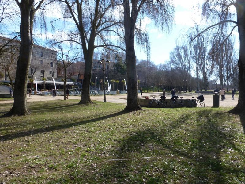
Travel to the north within the framework of the "Las Riberas del Carrión" program of the Municipal Sports Board
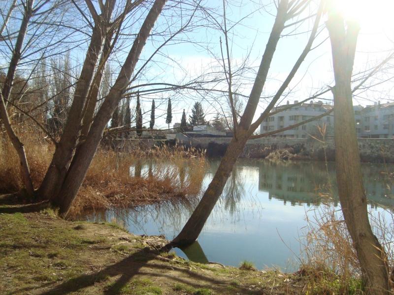
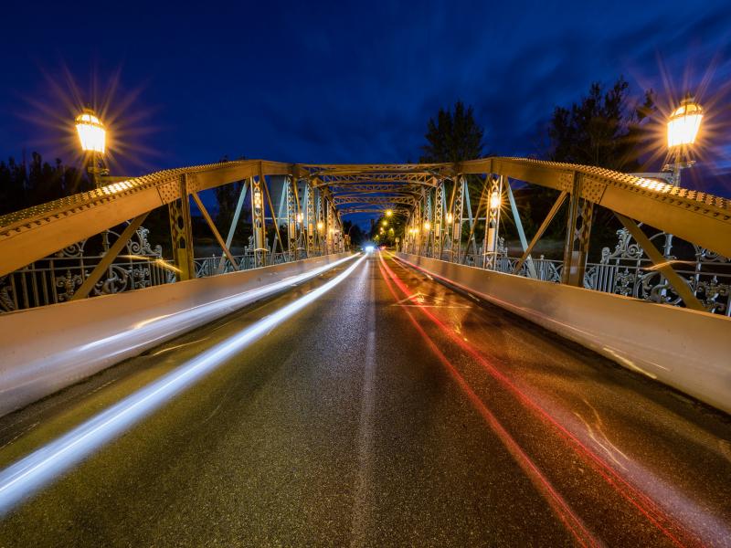
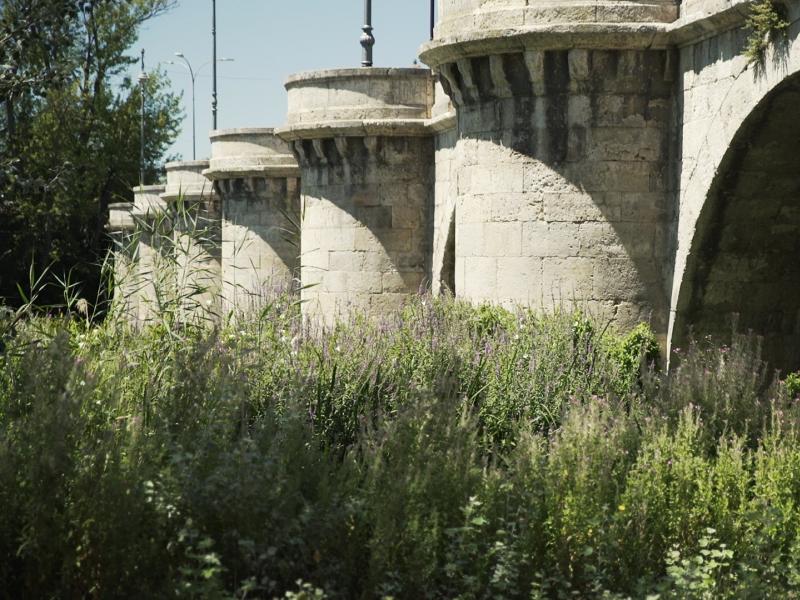
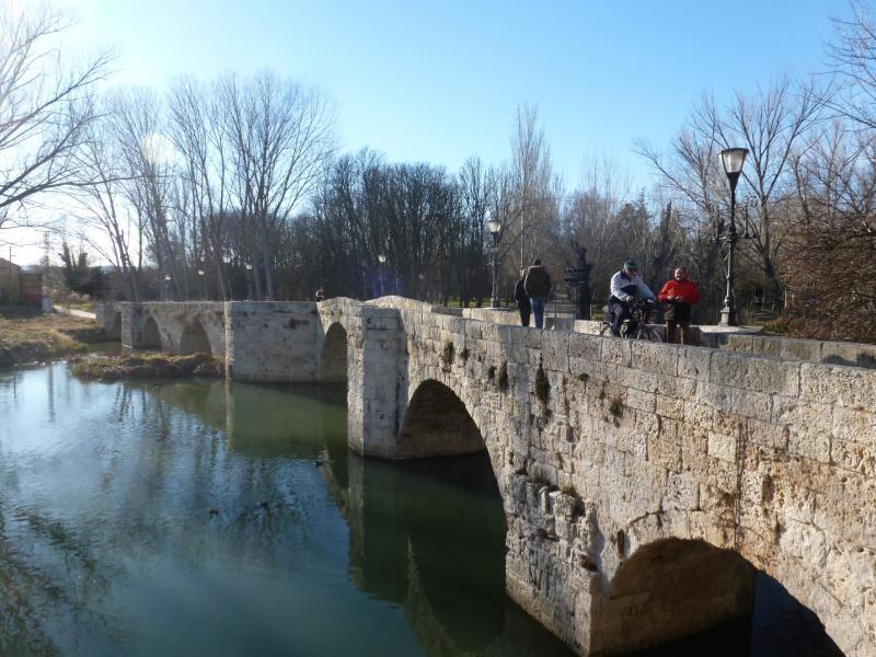
It is a “marked out” route, that is to say, an itinerary that coincides with roads or paths and presents, at various points along the route, some indicator marks that serve to confirm and follow the route. On this route a total of 2 km is traveled in an approximate duration of 30 minutes. The route, crossing the banks of the Carrión river to the north, takes us through the city's bridges. Part of the Isla Dos Aguas pedestrian walkway, ascends along the Carrión riverbank, passing under the Puente de Hierro and the Puente Mayor, crosses on the right bank through Puentecillas to the Sotillo de los Canónigos Park. Cross the Carrión river again through the Sotillo pedestrian walkway until you reach the Huertas del Obispo and, ascending north, end at the "Eras de Santa Marina" sports area.