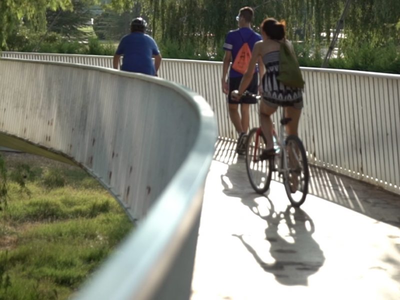
Dos Aguas Island Footbridge
Travel to the south within the framework of the "Las Riberas del Carrión" program of the Municipal Sports Board
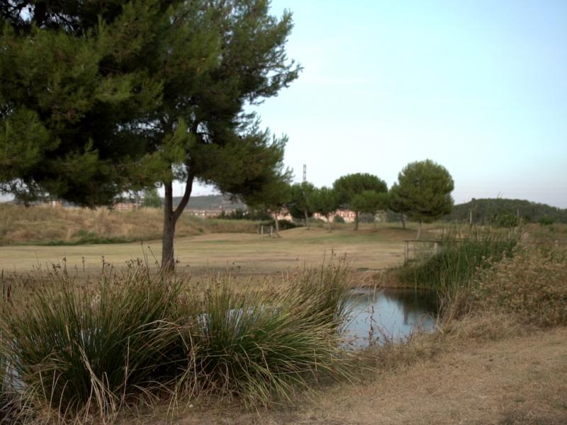
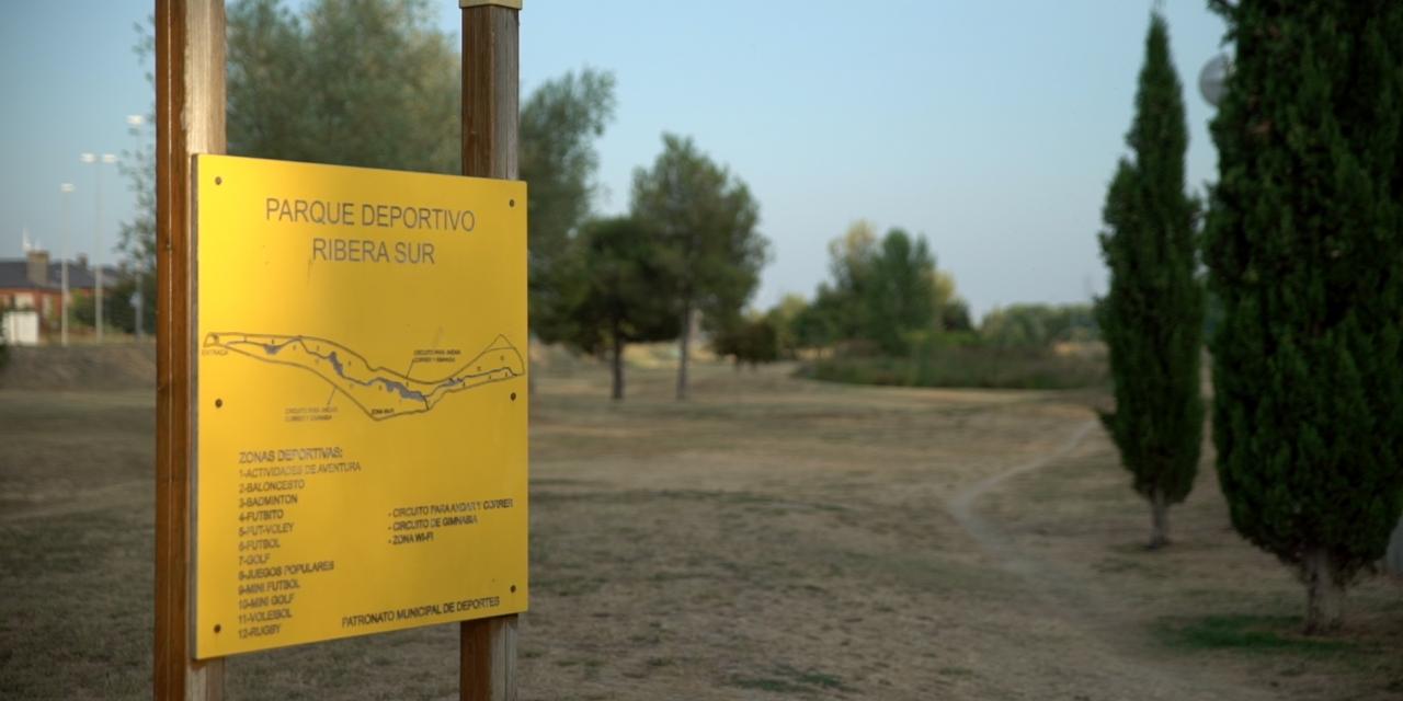
It is a “marked out” route, that is to say, an itinerary that coincides with roads or paths and presents, at various points along the route, some indicator marks that serve to confirm and follow the route. On this route a total of 1.7 km is traveled in an approximate duration of 20 minutes. The route starts from the Pasarela de Isla Dos Aguas and, going south to the left bank of the Carrión river, reaches the Parque Riberas Sur.