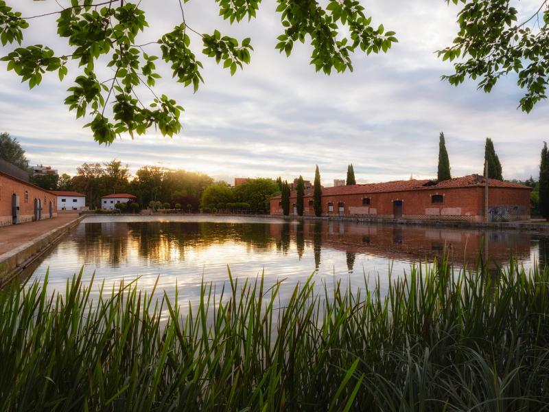
Dock of the Canal de Castilla
6.2 km walk of the "Monte el Viejo, trails and roads to climb" program of the Municipal Sports Board.
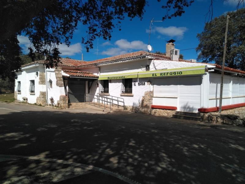
It is a “marked out” route, that is to say, an itinerary that coincides with roads or paths and presents, at various points along the route, some indicator marks that serve to confirm and follow the route. Starting from the dock of the Canal de Castilla, the 6.2 km of this route save an approximate difference of 135 m. in an estimated time of ascent 1 hour and 20 minutes to conclude in the Refuge of Monte El Viejo.